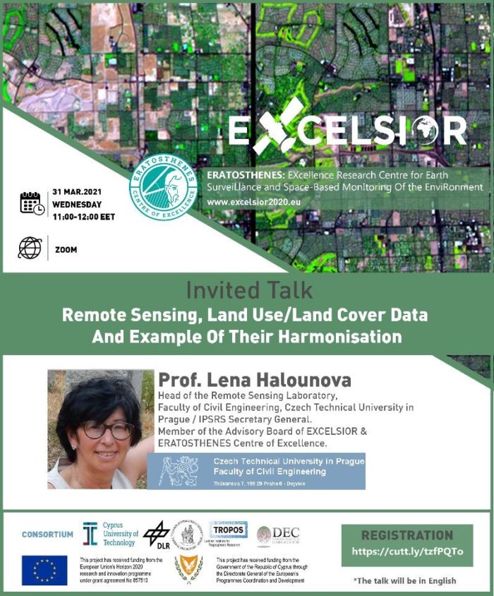
Professor Lena Halounová will give a presentation on the Remote Sensing, Land Use/Land Cover Data and Example of Their Harmonisation on the 31st of March at 09:00 UTC, 11:00 EET. The workshop is organized by the EXCELSIOR H2020 Teaming Project and the ERATOSTHENES Centre of Excellence. The University of Cyprus is an associate member of NEREUS.
Please register here (link).


