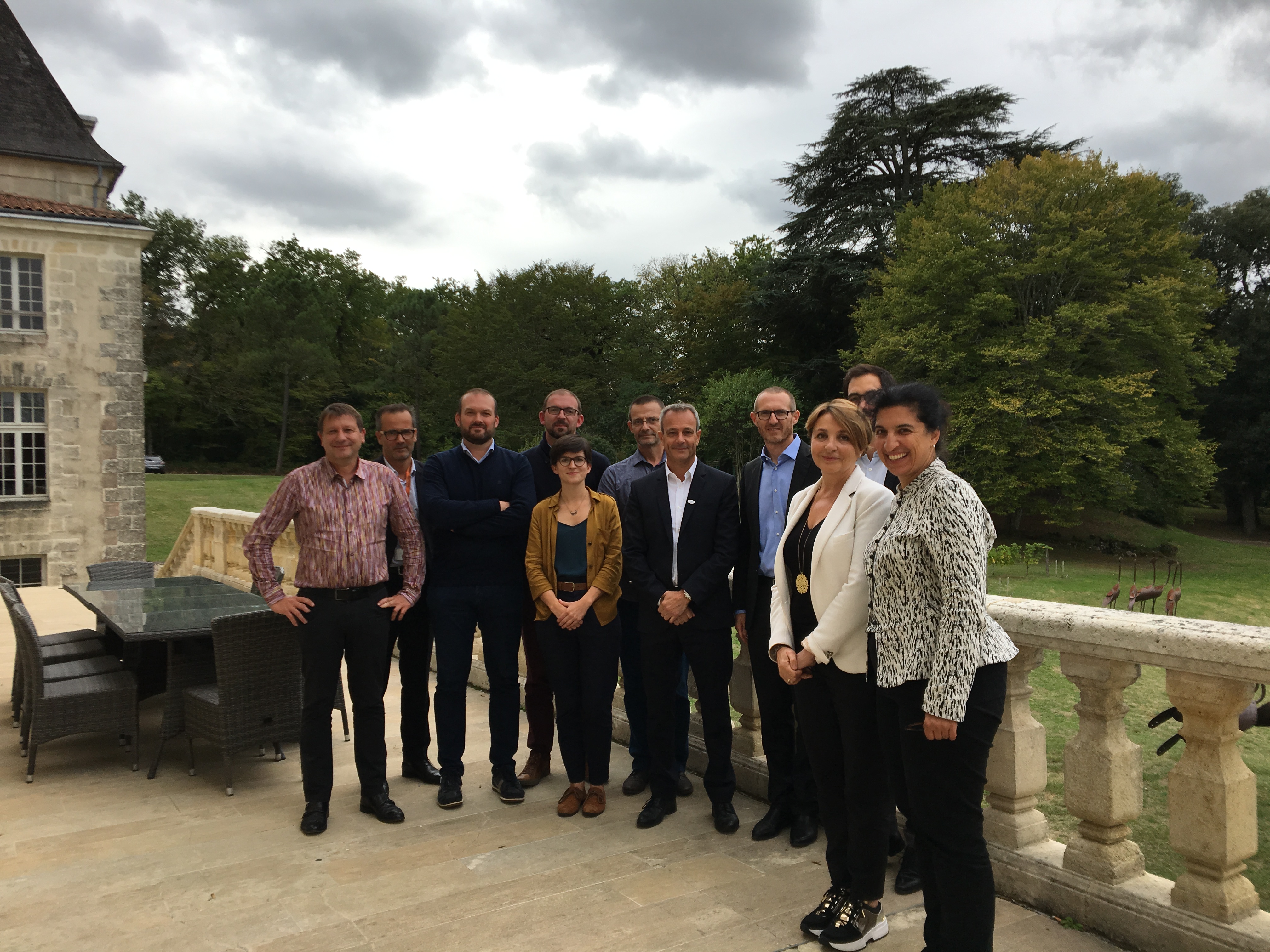
In the framework of the EO4GEO project, an outreach workshop was organized by NEREUS and its local partner Aerocampus Aquitaine in Nouvelle Aquitaine (Latresne, France) on 7-8 October.
The aim of this workshop was to bring together the French stakeholder community (target audience) by fostering awareness about the project’s objectives on better skills development and capacity building in the EO/GI field and by stimulating a debate amongst experts.
High level experts and speakers from a variety of organisations (educational centres, training organisations and aerospace centres, businesses active in the geo-information and space sectors) enriched the workshop with their valuable input about the current landscape of Copernicus data user uptake with real case scenarios. The speakers presented projects and activities engaged on the use of Copernicus in the downstream sector. More specifically, they demonstrated with concrete examples the benefits delivered for the local communities and identified needs of regional users.
The second day of the workshop was dedicated to a study tour to the facilities of the Aerocampus Aquitaine, an aerospace training campus with a view to tailoring and implementing training actions (vocational training, educational training or apprenticeship) to allow young people and adults to find new jobs in the aviation sector. Visiting the aviation training facilities and technical platforms for young students, participants had the chance to reflect more on the discussions about the training needs in the space sector on a wider spectrum.
You can download the programme, presentations and photos by clicking the following items:
Programme
Presentations
“Informer et former: deux maillons d’une même chaîne”, par Frédéric Collomb, FDC
Le point de vue du secteur privé, Florence Ghiron, Capital HighTech
Photos (please download within 7 days)
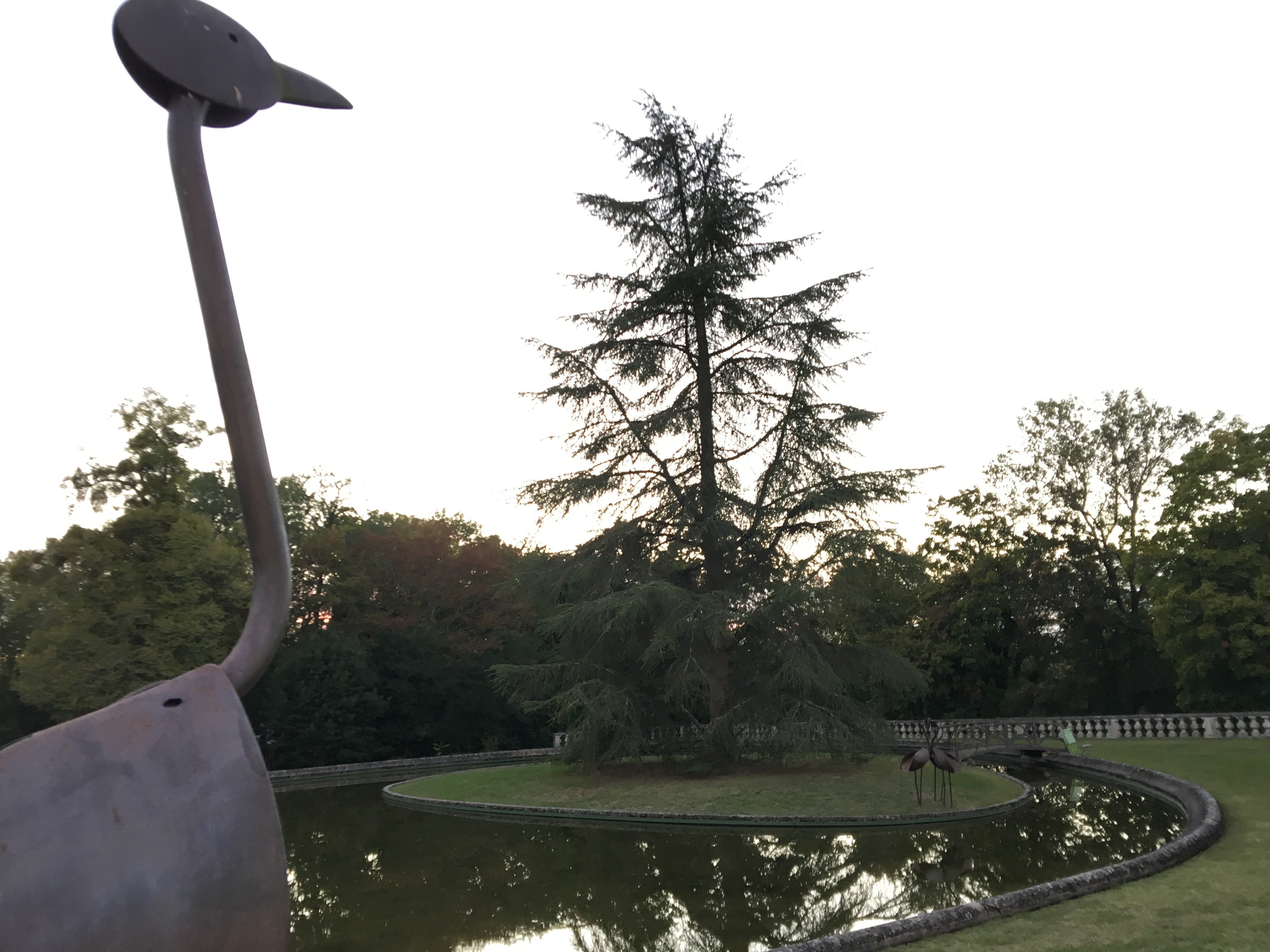
The workshop took place at the beautiful premises of the aerospace campus in a wooded park with a 13th century castle.